GeoTIFF Image Files
Making Background Images files PAMGuard
PAMGuard can now use any geo referenced image file in GeoTIFF format as a background image.
GeoTIFF files can be obtained from a wide number of sources. They can often be generated from GIS software, such as QGIS, or nautical charts in GeoTIFF format can often be purchased or extracted from chart plotting software.
Using QGIS to extract a Google Earth Satellite Image
QGIS is a powerful open source and free GIS software packages. These operations can probably also be performed with many other GIS softwares, but the PAMGuard team like open source products!
This is not intended to be a reference manual for QGIS, but does summaries what you’ll need to install, and how to use it. There are plenty of resources and videos on line that will tell you how to do this in more detail.
- Install QGIS
- From the QGIS plugins menu install QuickMapServices
- Goto to the menu Web/QuickMapServices/Settings
- Select the last tab: More services and click on the button at the bottom “Get contributed pack”.
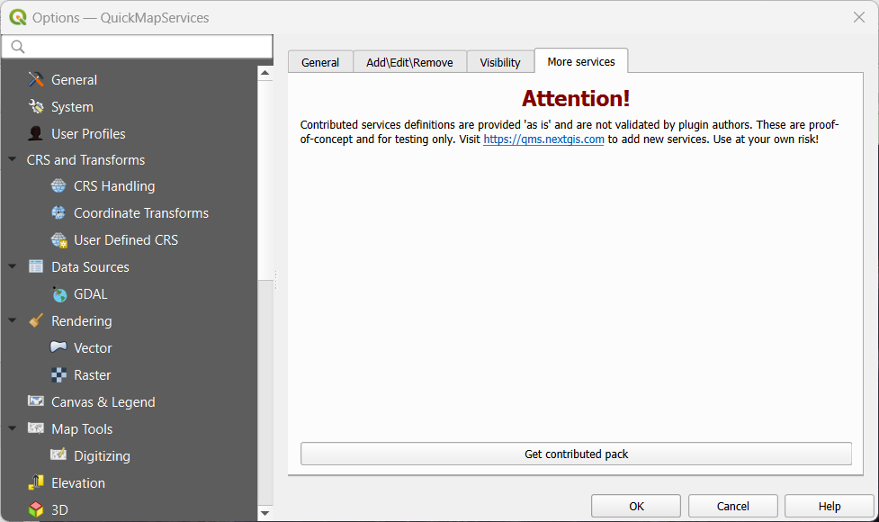
- Goto the menu Web/QuickMapServices and select the service you want to use (e.g. Google satellite)
- Zoom to the area you’re interested in.
- From the processing toolbox, find the Raster Tools section and double click on “Convert map to raster”
- In the dialog that appears, select the area of interest, then try different Map Units Per Pixel values (press Run) until you get a resolution you’re happy with.
- You’ve probably made a lot of layers now, so delete the ones you don’t want.
- Right click on the layer you’re happy with and select Export/Save As…
- Save the file somewhere.
- Select that file in the PAMGuard map options Raster File settings.
There are plenty of tutorials out there that will give a lot more detail on these operations.
Be aware that a very high resolution map may slow down the map display and impact PAMGuard operation. Generally, this is something that is best used only in viewer mode when you want to make a pretty plot for a presentation.